

")
")


![]()
News
Publication 'Roadmap to a mutually consistent set of offshore vertical reference frames', D.C. Slobbe >> |
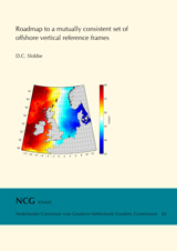
In the series 'Publications on Geodesy' has been published 'Roadmap to a mutually consistent set of offshore vertical reference frames' by D.C. Slobbe. In this study, a new quasi-geoid model is estimated that covers the whole Netherlands Continental Shelf and the Dutch mainland. Publications on Geodesy 82, Delft, 2013. 263 pages. ISBN: 978 90 6132 344 0. Pdf (45,6 mb). Only available as pdf. Further information >> (6-9-2013) |
NCG continues as Netherlands Center for Geodesy and Geo-informatics (NCG) |
From 1 January 2014 on the NCG continues her work under the name Netherlands Center for Geodesy and Geo-informatics (NCG). So decided the Netherlands Geodetic Commission during her meeting on 5 June 2013. Within the NCG representatives of science and practice are consulting about transfer and development of knowledge and research on geodesy and geo-informatics. The NCG gives advice on this area, also on the policy on geo-information of the government, and carries out strategic studies on the development of the field and initiates research. The reason for this step is the decision of the Royal Netherlands Academy of Arts and Sciences (KNAW) that from 1 January 2014 the NCG on is not anymore a part of her organisation. To continue the work of the NCG independently the Foundation Netherlands Center for Geodesy and Geo-informatics (Stichting Nederlands Centrum voor Geodesie en Geo-informatica) will be founded. Within the NCG about 80 scientists and representatives from practice are working together. Organisations as the Delft University of Technology, the University of Twente, Wageningen University, Utrecht University, Rijkswaterstaat, the Netherlands' Cadastre, Land Registry and Mapping Agency, the Royal Netherlands Meteorological Institute (KNMI), the Hydrographic Service of the Royal Netherlands Navy, TNO, Netherlands Space Office, GeoBusiness Nederland and Geonovum are working together. (25-6-2013) |
New members of the Netherlands Geodetic Commission |
|
|
International FIG workshop on the Land Administration Domain Model (LADM2013) >> |
|
|
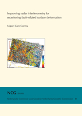
Publication 'Improving radar interferometry for monitoring fault-related surface deformation', Miguel Caro Cuenca >> |
|
|
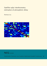
Publication 'Satellite radar interferometry: estimation of atmospheric delay, Shizhuo Liu >> |
|
|
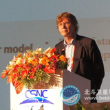
Prof.Dr.Ir. Peter Teunissen 'Professor Honoris Causa' in China |
|
|
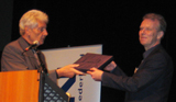
Dr.Ir. Christiaan Lemmen receives Prof. J.M. Tienstra Research Prize 2012 |
|
|
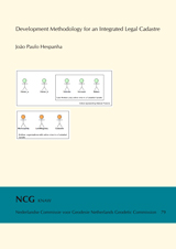
Publication 'Development Methodology for an Integrated Legal Cadastre', J.P. Hespanha >> |
|
|
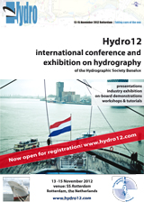
Hydro12 International Conference on Hydrography 13 -15 november, Rotterdam >> |
|
|
Publication 'A Domain Model for Land Administration' by Christiaan Lemmen >> |
|
In the series 'Publications on Geodesy' has been published 'A Domain Model for Land Administration' by Christiaan Lemmen. |
Three new members of the Netherlands Geodetic Commission >> |
|
|
| Ger Nieuwpoort, Director of Netherlands Space Office (NSO); |
| Michiel van der Meulen, Head of Geological Survey of the Netherlands (TNO); instead of Mart van Bracht (TNO); |
| Arie Versluis, Director of Rijkswaterstaat Centre for Data and ICT (DID); instead of Gerdy Harteveld (former HID Rijkswaterstaat DID). |
(18-4-2012) |
'Third International FIG Workshop on 3D Cadastres: Developments and Practices' >> |
The 'Third International FIG Workshop on 3D Cadastres: Developments and Practices' will be held on 25 and 26 October 2012 in Shenzhen, China. The deadline for submission of abstracts is 15 June 2012 and the deadline for full papers is 1 September 2012. Further information: www.cadastre2012.org. (3-4-2012) |
New Research plan of the Subcommission Geo-Information Infrastructure >> |
The Subcommission Geo-Information Infrastructure has published her new Research plan. The plan contains: mission and tasks of the Subcommission Geo-Information Infrastructure, research setting, scope of Subcommision GII en research questions. Download the pdf of the Research plan >> (6-3-2012) |