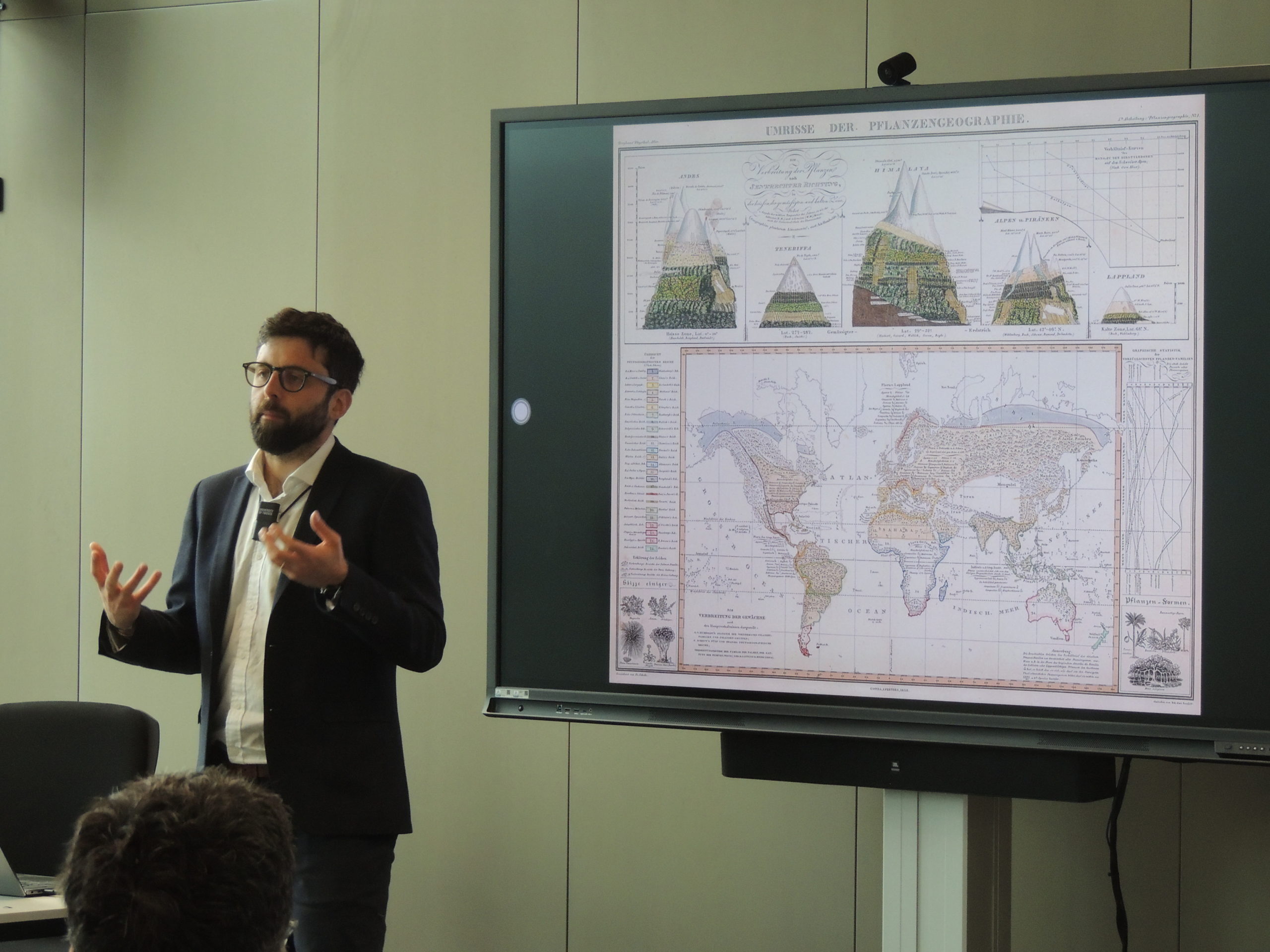
The NCG and the NCG committees regularly organise symposia and study days where knowledge and insights in the field of geodesy and geo-information are presented and discussed and where research questions are formulated. In the past, the lectures have often been published in one of the two NCG series.
The annual symposia are free of charge and intended for researchers and students from Dutch universities, academies, companies, government agencies and institutes active in the field of geodesy, geoinformatics and geoinformation sciences and for professionals from the field. The symposium is aimed at active researchers in the field, including PhD students and postdocs, with the aim of exchanging and discussing research results and activities on various themes.
The Baarda lecture is held annually during the plenary part of the symposia. Every two years, het Prof. J.M. Tienstra Prize is awarded. The winner will give a presentation about his or her work. In session meetings, participants briefly present their PhD research or other research in which they are involved.
2024
3 July 2024, TU Delft
NCG symposium
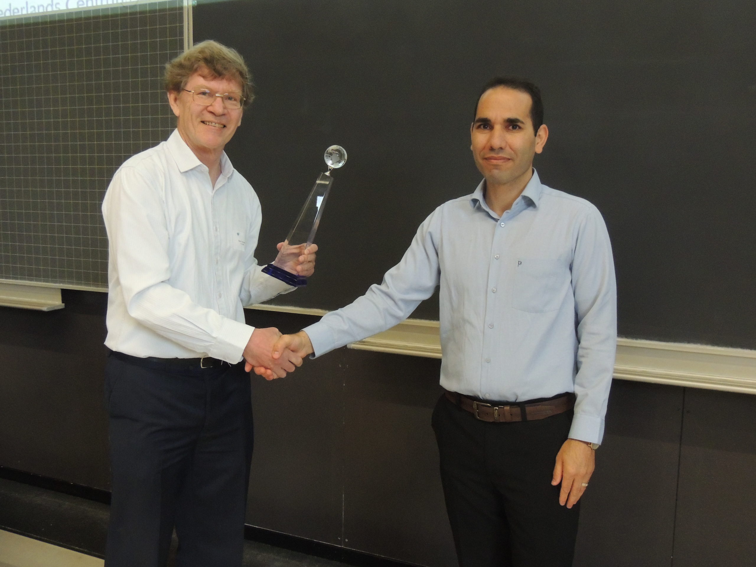
The Baarda lecture ‘Thinking outside the box: why does society need black holes? Status and prospects of the geodatic VLBI’ was provided by Prof. Dr. Rüdiger Haas (Chalmers University, Sweden). The Prof. J.M. Tienstra Research Prize was awarded to Dr. Ir. Hossein Aghababaei (Faculty of Geo-Information Sciences and Earth Observation at the University of Twente), followed by research presentations in several workshop sessions. Riccardo Riva (TU Delft) gave a presentation entitled ‘Reconciled evidence of sea level acceleration along the Dutch coast’.
2023
5 July 2023, TU Twente, Enschede
NCG symposium
The Baarda lecture ‘The power of maps’ was given by James Cheshire, professor of Geographic Information and Cartography at University College London.
2022
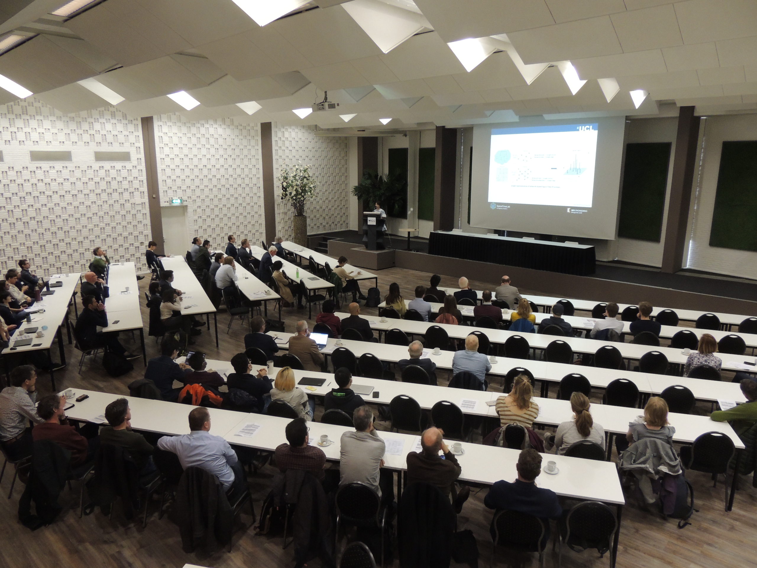
26 April 2022, Wageningen International Congress Centre
NCG symposium
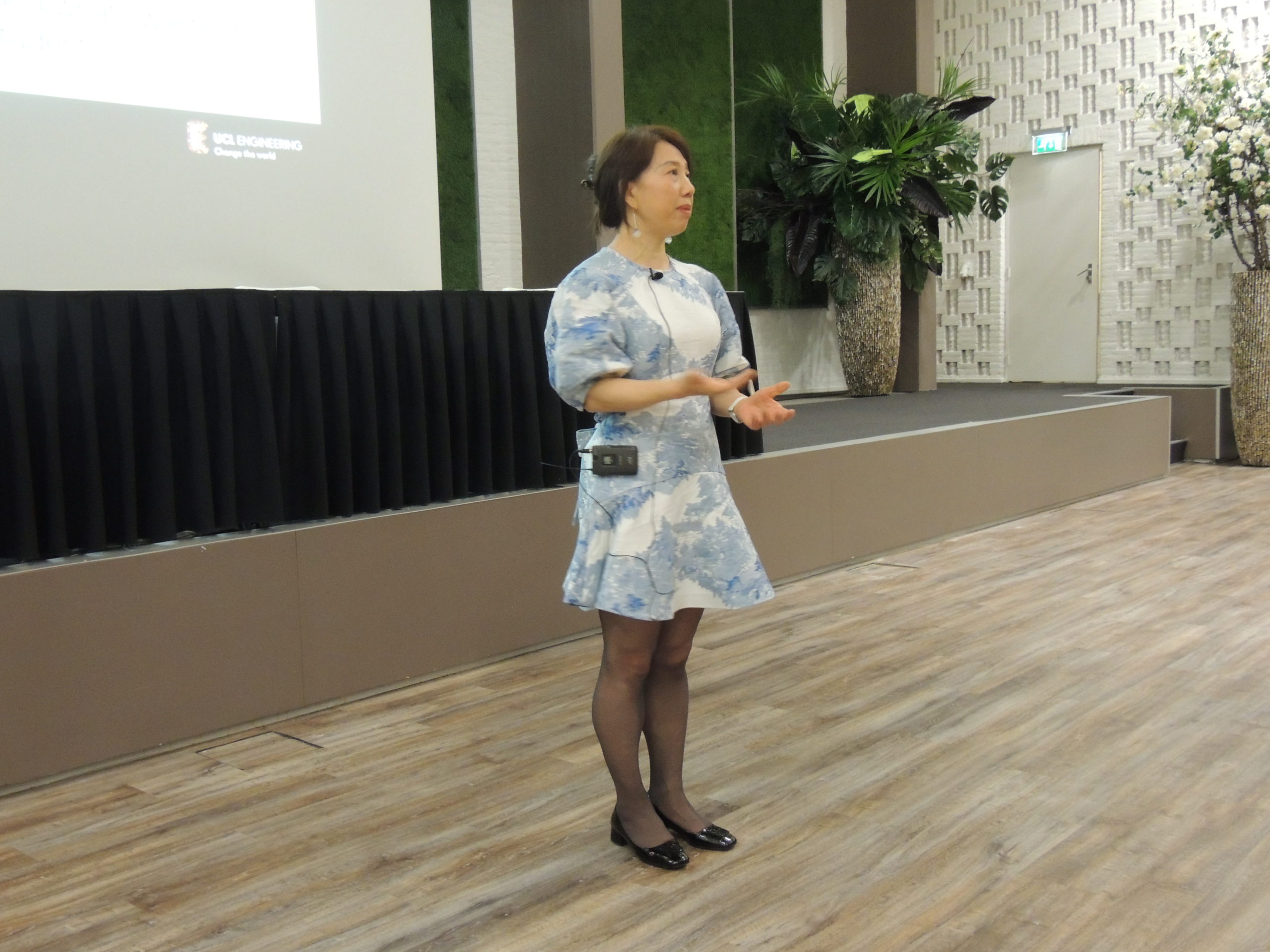
The Baarda lecture SpaceTime AI: Concepts, Methods and Applications was given by Prof. Tao Cheng (University College London).
The Prof. J.M. Tienstra Research Prize was awarded to Dr. Ling Chang.
A short report can be found here.
2020
5 November 2020, online
NCG symposium Theory meets practice
This year’s symposium was a joint event with the ICA Workshop on Map Generalization and Multiple Representation, the Geocongress and the NCG Workshop Creating Interactive Online Maps.
The Baarda lecture ‘Integration of geospatial data – a visualization challenge in a data rich world’ was given by Prof. Lars Harrie, Lund University, Sweden.
The Prof. J.M. Tienstra Research Prize was awarded to Dr. Caroline Gevaert.
2019
21 November 2019, TU Twente, Enschede
NCG symposium
The Baarda lecture ‘Monitoring cities with modern sensors and analysis methods’ was given by Prof. Monika Sester (Leibniz University Hannover, Institute of Cartography and Geoinformatics).
2018
29 November 2018, WUR Wageningen
NCG symposium
De Baarda-lezing ‘Geodesy and Society: Applications in Natural Hazards, Climate Change, and Autonomous Vehicles Research’ werd verzorgd door Prof. Tim Dixon (School of Geosciences University of South Florida, USA).
The Prof. J.M. Tienstra Research Prize was awarded to Dr. Cornelis Slobbe. Download his presentation here.
2017
2 November 2017, TU Delft
NCG symposium
The Baarda lecture ‘Smart Point Clouds for information modelling: application in Cultural Heritage’ was given by R. Billen, F. Poux & M. Van Ruymbeke from the Geomatics Unit, University of Liège.
2016
30 November 2016, TU Twente, Enschede
NCG symposium
The Baarda lecture ‘Monitoring the Changing Earth – From Observations to Modeling’ was given by Prof. Berhard Heck from the Karlsruhe Institute of Technology.
De Prof. J.M. Tienstra Onderzoeksprijs was awarded to Dr. Martijn Meijers.
2014
26 June 2014, Wageningen University & Research
NCG symposium ‘What data quality? Data quality “to the next level!”
The Prof. J.M. Tienstra Research Prize was awarded to Dr. Roel Nicolai.
A report of the symposium can be found here.
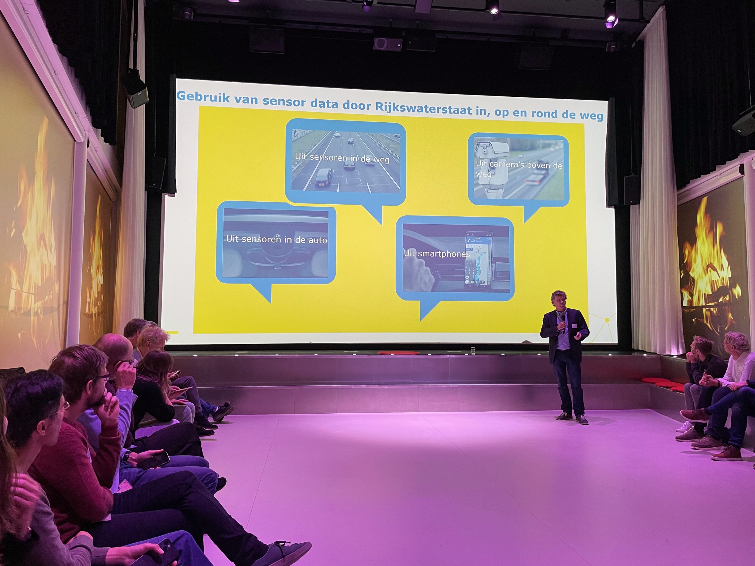
2024
1 October 2024, LEF Future Center, Rijkswaterstaat
Data from sensors: opportunity or challenge?
Organized by the NCG Geo-Information Infrastructure Committee and the Core Spatial Data Committee
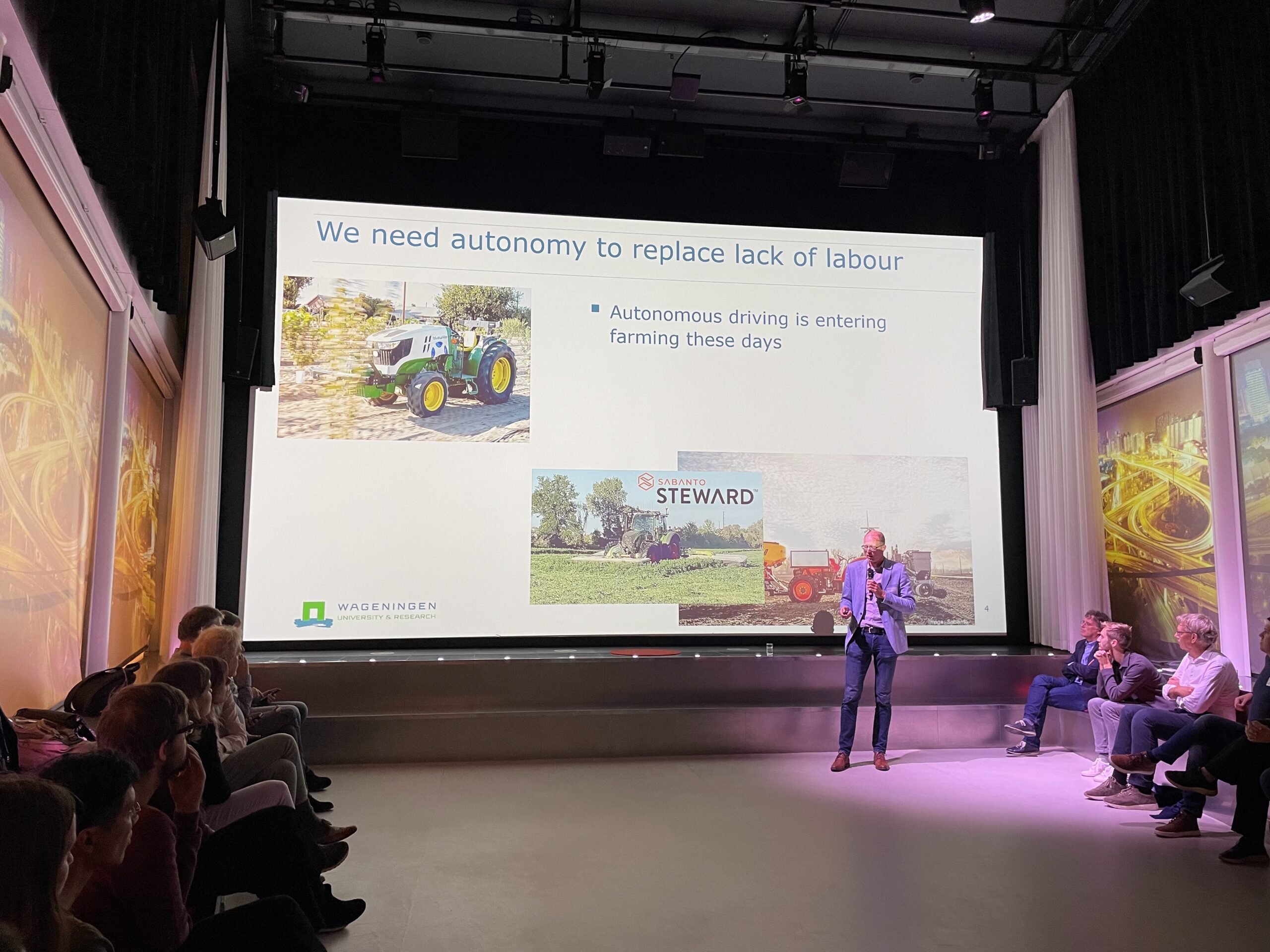
Under the guidance of Eline Eussen – facilitator of the LEF – an interactive dialogue took place about the ethical and legal aspects of the use of (research) data from sensing technologies. After four presentations by Bella Struminskaya (Utrecht University), Hans Nobbe (Rijkswaterstaat), Elaine van Ommen Kloeke (Naturalis Biodiversity Center) and Ard Nieuwenhuizen (Wageningen University & Research), the participants divided into two groups of about 15 people each. These groups discussed dilemmas in the use of data from sensors on the basis of three provocative statements. This led to animated conversations and, for many, new or surprising insights. The afternoon ended with drinks.
6 March 2024, Zoom meeting
The future of UAVs in vegetation monitoring: trends and challenges
Organized by the UAV Center (University of Twente) in collaboration with ISPRS and the NCG
Webinar on the future of unmanned aerial vehicles (UAVs) in vegetation monitoring in which leading academics discuss the latest UAV technologies, emerging trends and challenges in vegetation data analysis. This webinar is aimed at academics, students and industry professionals looking for a deeper understanding of how UAVs are changing the face of vegetation monitoring.
Speakers come from the University of Twente, Wageningen University and the Finnish National Land Survey. A two-hour recording of the meeting is available.
2023
31 October 2023, NEO, Amersfoort
NCG Study Day GeoAI & Energy transition
Organised by the NCG Core Spatial Data Committee
Afternoon meeting with speakers from NEO, Stedin, Alliander, TU Delft and TNO/Geological Survey about, among other things, streamlining energy transition with geographical AI models, automated design of Liander’s low-voltage grids, digital twins of electricity networks, machine learning and seismic data and the future potential of green hydrogen production in Europe and around the Mediterranean.
An introduction and a report of the meeting are available.
17 February 2023, Auditorium TNO/Geologische Dienst, Utrecht
Study day on integrated basic data
Organized by the NCG Core Spatial Data Committee
Representatives of the Ministry of the Interior and Kingdom Relations, CGI, Unafact, Sweco, Geonovum and the Land Registry discussed various aspects of the theme. See also the program. See also the program.
2022
7 juli 2022, Wageningen WUR Campus
NCG Workshop FAIR and metadata: conjoined twins!
Organized by the NCG Geo-Information Infrastructure Committee
A workshop to arrive at a common picture of how FAIR and metadata are connected and what tools can be given to provide metadata correctly in order to claim that your (spatial) data is FAIR. The workshop was intended for experts from the geospatial and near-overlapping domains, including: researchers, data scientists, data providers, application developers, archivists and librarians, among others. The workshop provided material for a white paper with findings and guidelines.
20 June 2022, Wageningen
NCG/GIM, Ravi Study Day
20 May 2022, TU Delft
GNSS and new applications
Organized by TU Delft and the NCG
Second workshop on GNSS and new applications for professional users of GNSS. The presentations provide insight into (renewed) applications of the latest generation of (affordable) GNSS hardware for sports trackers, deformation measurements, water vapor, agriculture and hydrography, but also alternatives. The presentations are provided by Fugro, WUR, KNMI, Basetime.xyz, TU Delft and Johan Sports.
2021
18 February 2021, online
NCG Workshop The significance of the European data strategy for the Netherlands
Organized by the NCG Geo-Information Infrastructure Committee
Speakers from the European Commission, the Ministry of the Interior and Kingdom Relations, Rijkswaterstaat, Data Archiving and Networked Services (DANS), Geobusiness Netherlands and Mentimeter presented policies and visions.
25 January 2021, online
NCG Workshop The value of the Integrated Geospatial Information Framework (IGIF) for the Netherlands
Organized by the NCG Geo-Information Infrastructure Committee
Workshop on UN GGIM’s IGIF.
2020
28 May, 4 June and 11 June 2020,
NCG Seminar on point clouds
Organized by the NCG Core Spatial Data Committee
An international group from Liège Université, CGI Netherlands, TU Wien, TU Delft, Titane Group Inria and TU Munich provided the presentations.
2018
27 June 2018
Study Day Netherlands Vertical Reference Frame (NEVREF)
17 April 2018, FUGRO, Leidschendam
NCG MSc GI Education Meeting
Presentations and discussion about six master’s programs (GIMA, Geomatics, Spatial Engineering, Geo-information Science, Geo-information and Earth observation and UniGis Distance Learning) and one bachelor’s program (Geo Media & Design). Also a presentation about modules and building blocks for geo-education. Also a presentation about modules and building blocks for geo-education.
2015
8 December 2015, TU Delft
Management of massive point cloud data: wet and dry (2)
Organized by the NCG, Oracle User Club Holland, TU Delft and the Netherlands eScience Center
The program and abstracts are available here.
28 January 2015, De Observant, Amersfoort
AHN/NCG study day: Point clouds, what can you do with them?
Organized by the NCG Core Spatial Data Committee and the Waterschap House
Presentations by representatives of the municipality of Rotterdam, TU Delft, TU Delft/NEO, University of Twente and ESRI. A program overview can be found here. A report of this day appeared in Geo-Info. The program and abstracts are available here. In Geo-Info verscheen een verslag van deze dag.
2014
15-16 September 2014, University of Twente
Perspectives on the visualization of uncertainty
Organized by the NCG Geovisualization Committee and University of Twente
Presentations on Visualizing uncertainty in spatial and spatiotemporal field data, by Edzer Pebesma (Spatio-Temporal Modeling Laboratory, University of Münster) and on Perspectives on Geographical Reasoning, Uncertainty, and Geovisualization by Alan MacEachren (GeoVISTA Center, The Penn State University). More information in the invitation. More information in the invitation.
10 April 2014, GeoFort, Herwijnen
GeoSamen kick-off conference
Organized by GeoBusiness Netherlands, Ministry of Infrastructure and the Environment and the NCG
Presentation of the shared vision of government, business and science on the future of the geosector. The GEO-ICT business community, government and science have joined forces in the past year, resulting in a joint vision (2014-2020) on the further development of the geosector.
After the presentations, the members of the top team signed the vision. This marks the official starting signal for GeoSamen and the focus shifts to implementation. The following topics were discussed in inspiration sessions: open data, open innovation, international developments from the perspective of the golden triangle, environmental law and spatial thinking.
6 February 2014, Rijkswaterstaat, Delft
Workshop Measuring and modeling sea level variation
Organised by the NCG Committees ‘Marine Geodesy’ and ‘Land Subsedence and Sea Level Change’
Workshop on information needs for sea level height from climate research. Topics covered include satellite altimetry, analysis of the Dutch tidal series and modeling of the tide and the vertical reference plane in the North Sea.
Presentations by TU Delft, KNMI and Deltaris (tidal modeling and sea levels).