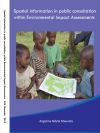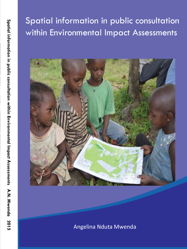
Angelina Nduta Mwenda
Publications on Geodesy 88
2015, 124 pages.
Summary
Established in the United States of America in 1970, Environmental Impact Assessment (EIA) is an interdisciplinary approach that considers the anticipated impacts of development on the environment, and proposes timely mitigation of these impacts to the extent possible. Since then, EIA has continued to be established in countries worldwide, with modifications being made to suit regional and local requirements. Essential to EIA is an attempt to balance environmental concerns with social, economic and other human needs, which has led to partnership with society, to the extent that public articipation is deeply incorporated into EIA. Also central to the EIA process is information related to the natural and human environment. Sources of this information, particularly those that contain spatial elements, are valuable due to their ability to provide information on location. Sources of spatial information are numerous, and may include photographs, maps, satellite images, orthophotographs, verbal descriptions, animations, and virtual reality, among others... (see pdf)
